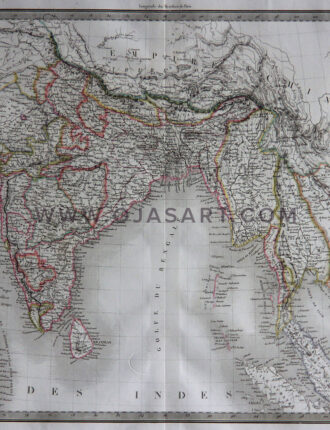
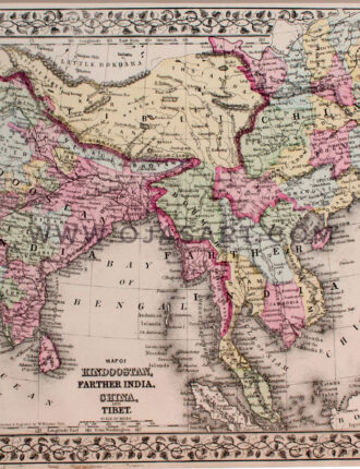
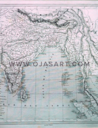
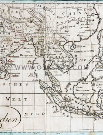
“New map of Indostan or East Indies”. Engr. map by T. KITCHIN, w. title-cartouche, 38×34 cm., from G.H. MILLAR, New Complete & Universal System of Geography, ±1770 (some foxing). “Nieuwe Kaart van het Oostelykste Deel der Weereld, dienende tot Aanwyzing van de Scheepstogten der Nederlanderen naar Oostindië”. Engr. map, 32×36 cm., Amst., I. Tirion, 1755. – AND 2 handcol. maps by A. TARDIEU.